Geological Survey
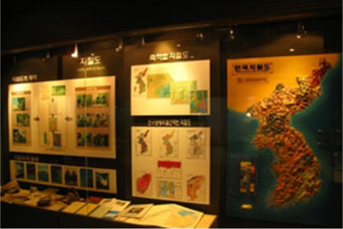
Geological map is a map showing the distribution of geological information such as various rock types, structures, and fossils exposed on the surface. It corresponds to a type of thematic map that is produced and published as a national project by Korea Institute of Geoscience and Mineral Resources. The various geological information included in the geological map is not only the most basic data of the geological study on the Korean Peninsula, but also offers basic information to industrial development.
For nearly a century after modern geological surveys were conducted in Korea, geological map has played a vital role in the exploration and development of mineral resources, and the construction for large-scale infrastructure such as roads, railways, and construction plannings. In addition, geological survey and geological maps are indispensable for the selection and construction of major thermal, hydro, nuclear power plant sites where geotechnical requirements should be given top priority.
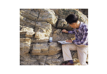
After conducting field surveys in the target area, the data are analyzed in the lab, and the geological map is completed by transferring the various geological information to the map.
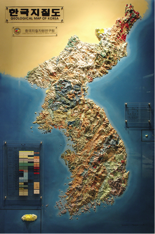
Three-dimensional geological map of Korea
1: 1,000,000 geological map is superimposed on top of the Korean peninsula, and terrain related to geological distribution can be observed at a glance.